
- Drone Survey
Professional Drone Survey Services
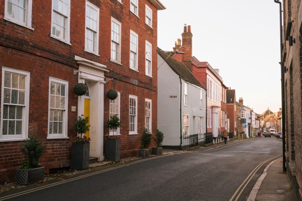
Fitzgerald Surveying provides independent drone survey services for residential and commercial properties across South East England and London, combining professional surveying expertise with aerial inspection technology to assess inaccessible or high-risk areas not visible during a ground-level inspection.
- Independent, qualified drone surveyors who are members of RICS, RPSA and CIOB
- 5-star rated with excellent Google reviews
- High-resolution aerial inspections with clear reports
- Evidence-based findings supported by drone imagery
- Book Your Property Survey…
- About Surveyors
What Is a Drone Property Survey?
A drone survey uses aerial imagery and data to inspect areas of a property that may be difficult to view from ground level. Clients typically instruct drone property surveys for a variety of reasons. In some cases, concerns relate to roofs, chimneys, or other high-level features. In others, clients require a closer view of a building before maintenance works, repairs, or a property purchase.
Our surveyors use drones and surveying techniques to gather information from areas that may otherwise require specialist access equipment. The images and data collected support a detailed professional assessment of the property’s condition.
Fitzgerald Surveying carries out drone surveying services for a wide range of residential and commercial properties across South East England and London. We also undertake drone roof surveys, building inspections, and site assessments where a closer examination of external elements is required. We present our findings within a detailed report, helping clients better understand the condition of the property and any observations identified during the survey.

- Get Your FREE Smart Buyer’s Guide For Homebuyers
Enter your email address below to get FREE instant access to our checklist!
- Your email address will never be shared. By submitting this form you are agreeing to receive messages from Fitzgerald Surveying
- Key Benefits
Types of Drone Surveys We Provide
The type of drone survey instructed depends on the inspection objective and the information required. Some instructions focus on buildings and high-level structures, while others require aerial imagery, site data, or mapping outputs.
UAV Drone Survey
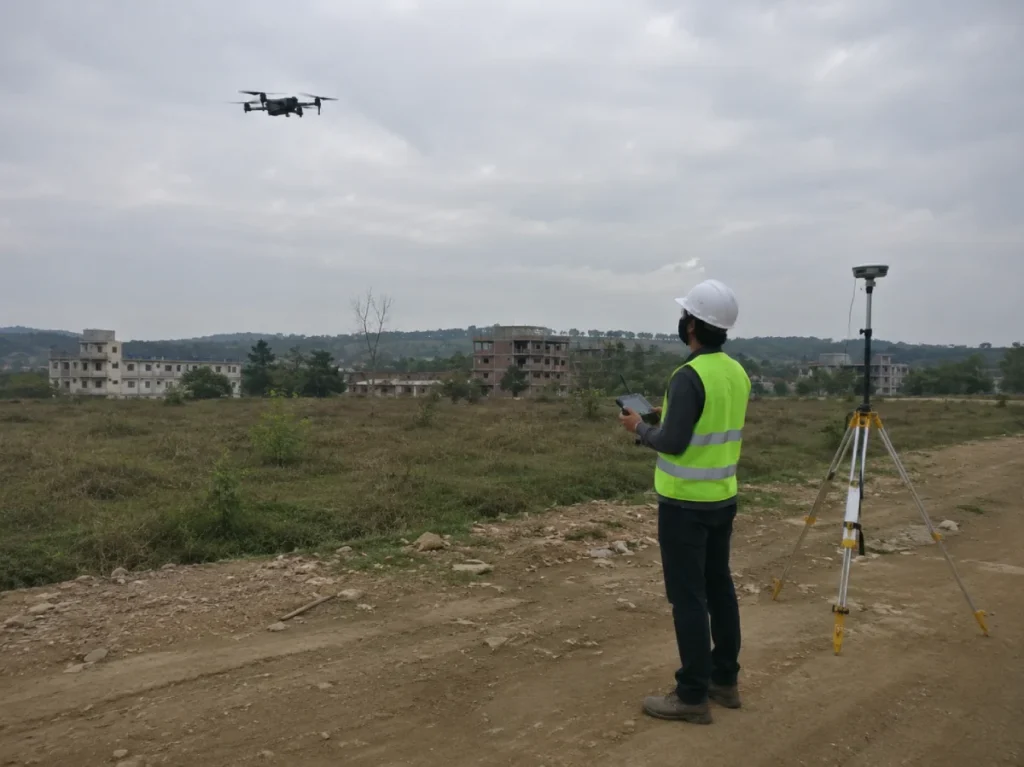
A UAV drone survey provides an efficient method of inspecting buildings, roofs, and external features from above. The survey captures detailed imagery to support property assessments and reporting.
- High-level building inspections
- Roof and external feature surveys
- Detailed imagery and reporting
3D Drone Survey
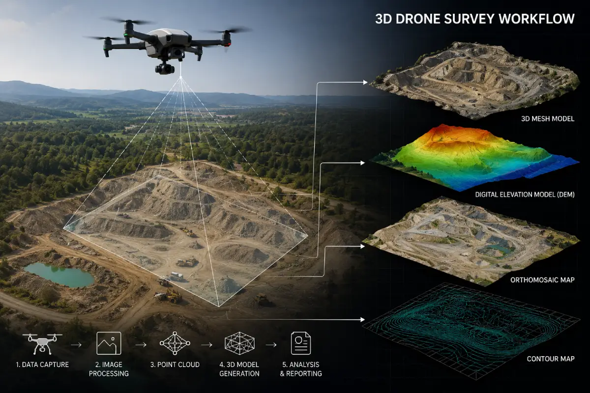
A 3D drone survey captures data to create accurate visual models and measurements of buildings, structures, and sites, supporting mapping and technical assessment projects where precise spatial outputs are required.
- 3D site and building modelling
- Survey data capture and analysis
- Mapping and visualisation outputs
Aerial Drone Survey
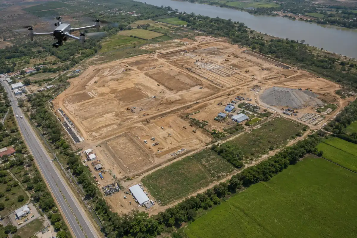
An aerial drone survey provides a wider site context of buildings, land, and surrounding features. These surveys support drone land surveying, property inspections, and site assessments.
- Property and land inspections
- Aerial imagery and site overviews
- Survey findings and reporting
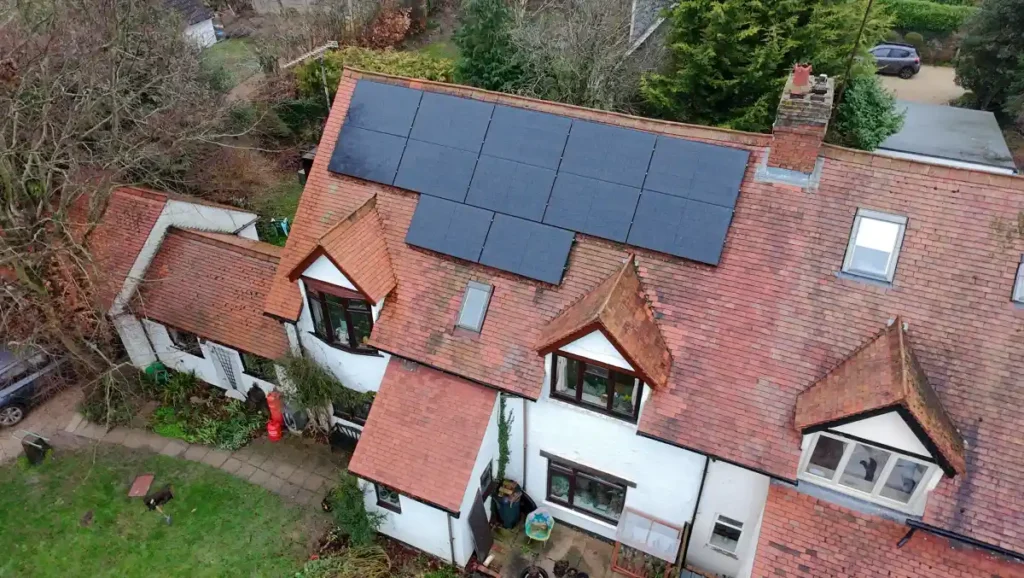
- Report Overview
What's Included in Your Drone Survey Report?
A professional drone survey report provides more than aerial photography. It brings together inspection findings, defect observations, and professional assessment of the areas examined, presented in a structured format to support informed decision-making.
- High-Resolution Aerial Photography
- Roof and External Building Observations
- Chimney, Gutter and High-Level Feature Reviews
- Building Elevation and Façade Observations
- Property and Site Condition Findings
- Defect Identification and Supporting Imagery
- Photographic Evidence and Site Notes
- Findings and Recommendations
- Detailed Report Supported by Drone Imagery
- Project Insights
Detailed Drone & Property Survey Case Studies
We deliver accurate drone-based property surveys across all project types, utilising high-resolution aerial imagery to assess roofs, elevations and external conditions, enabling clients to make informed and confident property decisions.
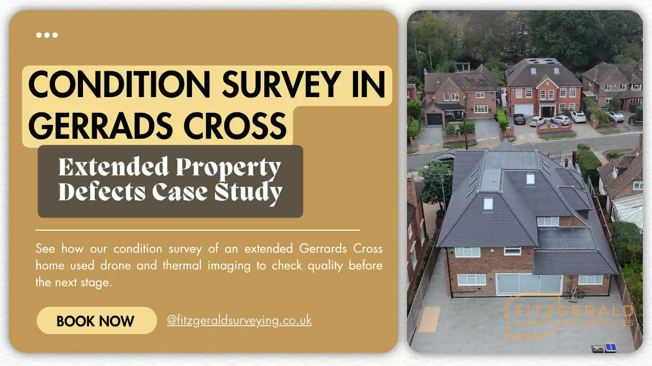
Fitzgerald Surveying Services was instructed by a homeowner to carry out a condition survey of a recently extended property in Gerrards Cross. The property had undergone a large extension and significant internal renovations, and the owner wanted an independent assessment of the standard of work before moving on to the internal fit-out and finishes. As a RICS surveyor working across Gerrards Cross and Buckinghamshire, we regularly provide condition surveys on newly built and recently renovated homes like this one.
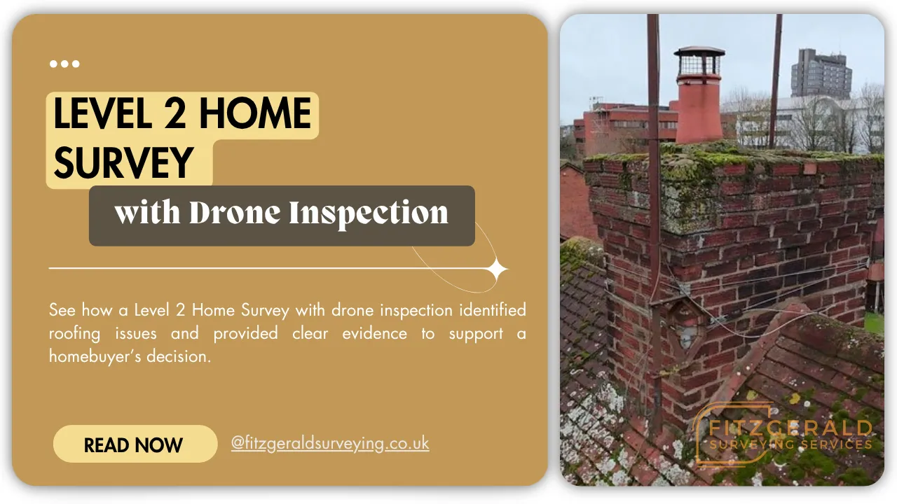
Fitzgerald Surveying Services completed a Level 2 Home Survey for a prospective buyer, enhanced with drone inspection to assess roof areas that could not be safely viewed from ground level. This provided a clearer, evidence-based understanding of the property’s condition.
- Why Choose Us
Why Choose Our Drone Survey Experts
When high-level or inaccessible areas require inspection, accurate and safe assessment depends on combining professional surveying expertise with appropriate aerial technology. Fitzgerald Surveying provides independent drone inspections that deliver evidence-based findings on areas that cannot be assessed from ground level alone.

Independent Perspective
Our role is to assess and report on the condition of the property. We do not promote repair products or remedial solutions as part of the survey process.

Safer High-Level Inspections
Drone technology allows surveyors to inspect roofs, elevations, and other elevated features without relying on traditional access methods, removing the need for scaffolding or specialist equipment in the majority of cases.

Detailed Visual Reporting
High-resolution imagery is reviewed and interpreted by an experienced surveyor, providing evidence-based findings and a clear visual record of the condition of the areas inspected.

Residential and Commercial Properties
We carry out inspections for homeowners, purchasers, landlords and commercial property owners across a wide range of building types.
Drone Surveys Across South East England and London
Fitzgerald Surveying operates across Buckinghamshire, Hertfordshire, Surrey, Oxfordshire, Berkshire and surrounding counties. We support residential, commercial and larger site-based instructions, with dedicated location pages providing further information about the services available in each area. Our operational coverage across South East England and London allows us to respond to instructions efficiently across a wide range of property types and locations.
South East England
Fitzgerald Surveying operates across Buckinghamshire, Bedfordshire, Hertfordshire, Surrey, Oxfordshire, Berkshire and surrounding counties. We support residential, commercial and larger site-based instructions, with dedicated location pages providing further information about the services available in each area. Our operational coverage across South East England allows us to respond to instructions efficiently across a wide range of property types and locations.
Buckinghamshire
Hertfordshire
London
Our London coverage is split across West, North-West and South-West London, so you can book a drone survey anywhere in the capital.
West London
Stucco terraces and high mansion flats around Notting Hill, Kensington and Holland Park, alongside roof conversions and suburban rooftops out towards Ealing and Uxbridge.
North-West London
Steep period roofs in Hampstead and Highgate, Maida Vale's tall mansion blocks, and the Metroland semis across Wembley, Harrow, Pinner and Stanmore.
South-West London
Riverside and period rooflines across Richmond, Kew, Barnes, Putney and Fulham, from Victorian terraces and chimney stacks to newer waterside blocks.
- Client Feedback
What Clients Say About Fitzgerald Surveying
Clients instructing drone surveys through Fitzgerald Surveying receive a professionally prepared report with clear findings, supporting imagery, and practical recommendations, providing the information needed to make informed decisions about the property or site.
 Posted on Google
 Miranda Tuszynski
Trustindex verifies that the original source of the review is Google.
A very detailed survey, including photos Marshall was very helpful explaining any concerns I hadPosted on Google Matthew HThanks for the highly detailed RICS level 2 survey which gives us confidence ahead of our purchase. Very much appreciated.Posted on Google
 Lisa BidaJake prepared a very thorough Level 3 Home Survey report for us. He booked it in quickly with the estate agent and we really appreciated how quickly he was able to get it back to us.Posted on Google
 emma kehoeI recently arranged a level 3 survey on a grade 2 listed property. From start to finish, they were extremely easy to deal with, professional and efficient. Would thoroughly recommend! Thank you.Posted on Google
 Robert PayneThe team carried out a RICS level 3 plus survey on a property we are looking to buy. Great communication from start to finish and very thorough report that ensured we were fully informed on the property. Thanks!Posted on Google
 Bijal PatelJake did a fantastic job with our Level 3 Home Survey. He was professional, knowledgeable, and incredibly helpful throughout the entire process. While we were on holiday, he took the lead in organising both a drain survey and a structural survey, which made everything much less stressful. Jake also took the time to thoroughly review all the documents and promptly responded with clear, detailed feedback whenever needed. His communication and attention to detail were excellent, and it was clear that he genuinely cared about helping us make an informed decision. It was a pleasure working with Jake and the team. I would 100% recommend their services to anyone looking for a reliable and professional surveyor. Thank you, Jake! ⭐⭐⭐⭐⭐Posted on Google
 Geraint Talbot-DaviesPrompt and efficient delivery of a comprehensive building survey. Even better though was their after service care to clarify and amplify key points to follow through on.Posted on Google
 Pierre TheoGreat communication throughout the process. The team provided a well drafted and thorough survey. Highly recommend.Posted on Google
 Edison BakalliExcellent service from Mitchell. The survey was thorough, professional, and delivered promptly. The report was clear and easy to understand, helping me make informed decisions. Highly recommended for anyone looking for a reliable and knowledgeable property surveyor.Posted on Google
 Katie HullWe had an extremely thorough RICS Level 3 plus survey done on an old property we are buying. We were very impressed by the detail of survey and communication. Would thoroughly recommend!
- Our Process
From Booking to Drone Survey Report in 4 Clear Steps
Whether concerns relate to a roof, building exterior or wider site, our process provides a structured route from the initial enquiry through to the completed report.
STEP 1
Discuss Your Requirements
We begin by discussing the property, site or structure and the reason for the instruction. This helps establish the scope of the survey before the visit takes place.
STEP 2
Arrange a Suitable Survey Date
Once instructed, we arrange a convenient time to carry out the survey and any necessary pre-survey planning.
STEP 3
Drone Survey Inspection
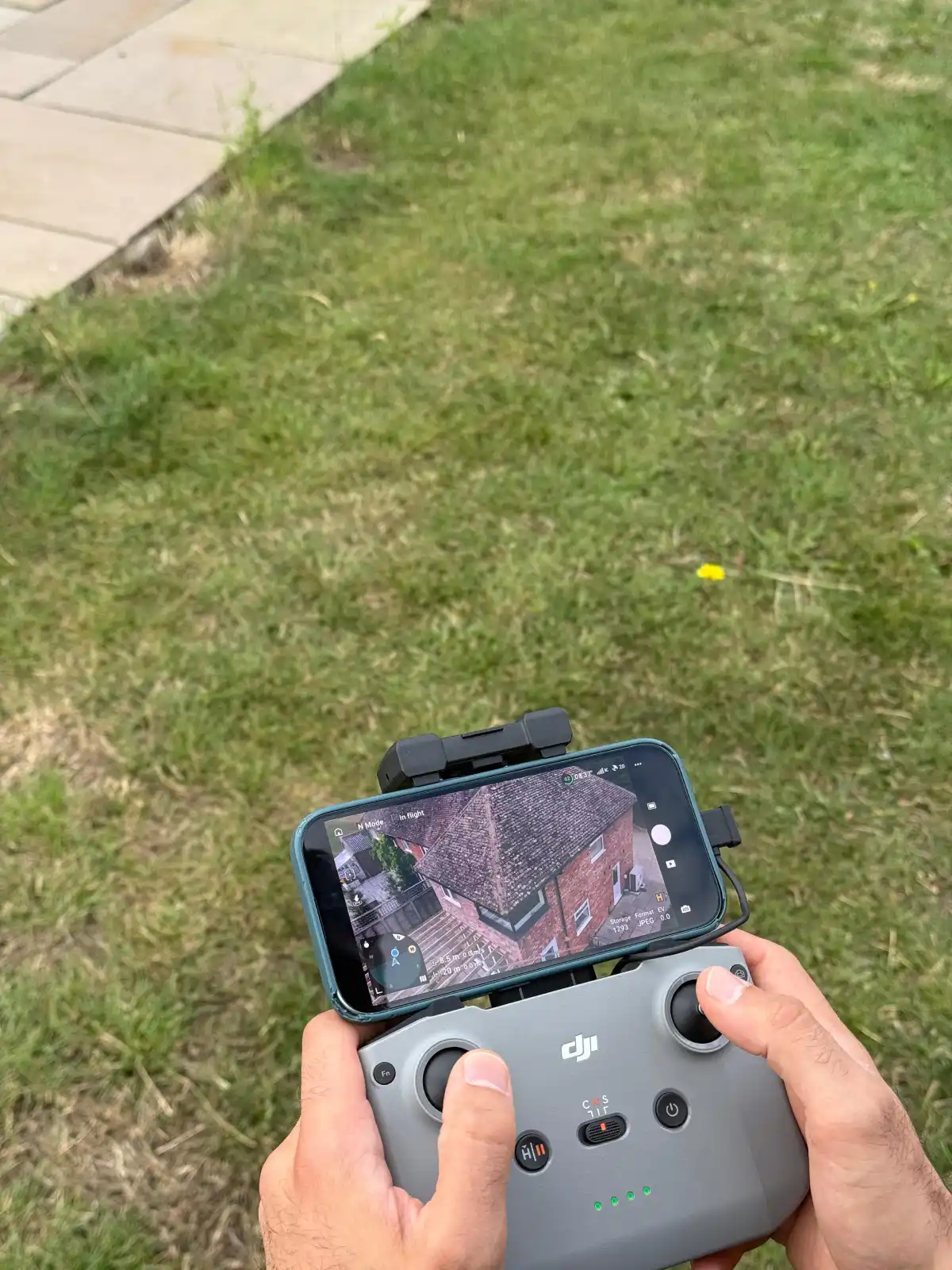
The surveyor undertakes the aerial inspection and records the information required to assess the areas included within the instruction.
STEP 4
Receive Your Drone Survey Report
You receive a detailed report setting out the findings, supporting imagery and any recommendations arising from the survey.
- FAQ
Drone Survey Questions, Answered
Clients often ask what drones can inspect, how the process works and whether the service suits a particular building or site. The answers below cover the most common questions raised before an instruction.
A drone survey uses an unmanned aerial vehicle to capture images and information from roofs, elevations, structures or land. A surveyor then reviews the material collected and reports on the areas included within the instruction.
A drone can examine roof coverings, chimneys, gutters, façades, external walls and other elevated features. It can also provide wider views of sites and surrounding land where required.
Drone aerial access provides detailed close-range views of tiles, slates, flashings, valleys, chimney details and rainwater goods, allowing the surveyor to assess the condition of the roof covering and identify visible defects without placing a surveyor directly on the roof.
Not in every case. A drone can inspect many difficult-to-reach areas without scaffolding, access towers or lifting equipment. Further access may still be required where defects remain concealed or repairs need to take place.
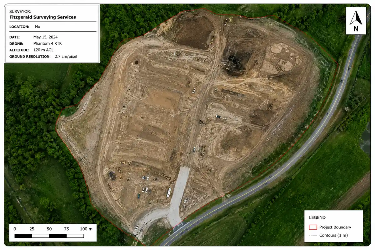
Drone mapping supports site assessments, land measurements, and the production of spatial data outputs, including orthomosaic imagery and three-dimensional models, providing clients with an accurate and scaled record of a building or site for measurement, planning, or condition assessment purposes.
Drone technology can capture data efficiently across large or complex sites. Suitability depends on the site characteristics, airspace restrictions, weather conditions, and the type of data output required.
The document may include aerial photographs, defect locations, survey observations and recommendations. Its contents will reflect the parts of the building or site included within the agreed scope.
The fee depends on the size and complexity of the site, the areas covered, and the type of output required. Drone surveys typically start from £300 for a standard residential roof or building inspection, with fees varying according to the scope and complexity of the instruction. Contact Fitzgerald Surveying for a quotation based on your specific requirements.
- Specialist Inspections
Specialist Property Surveys and Inspections in London
Alongside our residential building surveys, we carry out a range of specialist property surveys and inspections across London. These focus on a specific concern, a particular part of a building, or the extra detail needed for maintenance, energy or renovation decisions. Which one suits comes down to the property and the issue you’re looking into.
Tracks rising, penetrating and condensation damp and follows moisture back to its source.
Establishes why mould keeps returning and the airflow conditions allowing it to spread.
Checks joists, rafters and floors for woodworm, wet rot, dry rot and decay.
Uses thermal imaging to reveal heat loss, cold bridging and damp concealed behind surfaces.
Independent quality and compliance checks on external wall insulation, during or after installation.
Condition reports for offices, shops, warehouses and mixed-use premises before a lease or purchase.
- Get In Touch
Arrange Your Independent Drone Survey Today
If high-level or inaccessible areas of a property require inspection, commissioning a professional drone survey provides a safe and efficient method of assessment. Fitzgerald Surveying provides drone survey services across South East England and London for residential and commercial properties. Whether you require a drone roof survey, a drone property survey or a wider site inspection, our team is available to assist.
63 New Road, Weston Turville, Aylesbury HP22 5QY
167-169 Great Portland St, London W1W 5PF, United Kingdom
enquiries@fitzgeraldsurveying.co.uk
0333 2249 516